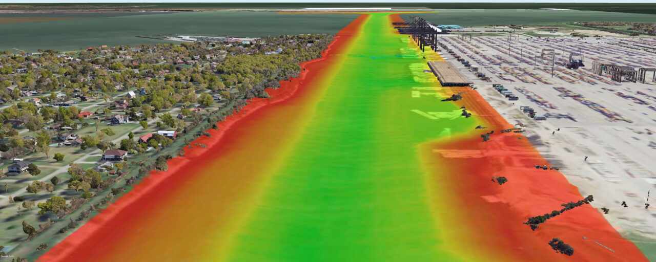
The Redfish to Bayport Ship Channel and Bayport Ship Channel projects are located in Galveston Bay and Trinity Bay. The primary goal of Redfish to Bayport is to widen the ship channel to a minimum of 700 and the Bayport Ship Channel feet to approximately 455 feet to Mitigate for oyster habitat loss and construct marshes and three bird islands in Galveston Bay. The Bayport Ship Channel will widen the ship channel to approximately 455 feet. The length of both projects are approximately 12.3 miles in length.
DDG performed hydrographic, topographic, and hazard surveys for dredging of the Houston Ship Channel, dredging of the Bayport Ship Channel, and construction of 3 Bird Island in Galveston Bay for Weeks Marine. The field crew utilized a 24’ Scully survey vessel, a Teledyne ECHOTRAC E20 SBES, a Teledyne Odom MB2 MBES, an Applanix POS M/V OceanMaster augment with RTK, a Trimble R12i RTK base and rover, a Valeport SWiFT SVP, a Geometrics 882 magnetometer, an EdgeTech 4125 SSS and an EdgeTech 3400 SBP to collect data. The office team utilized Hypack 2021, AutoCAD Civil 3D and Microsoft 365 for planning and post-processing.
