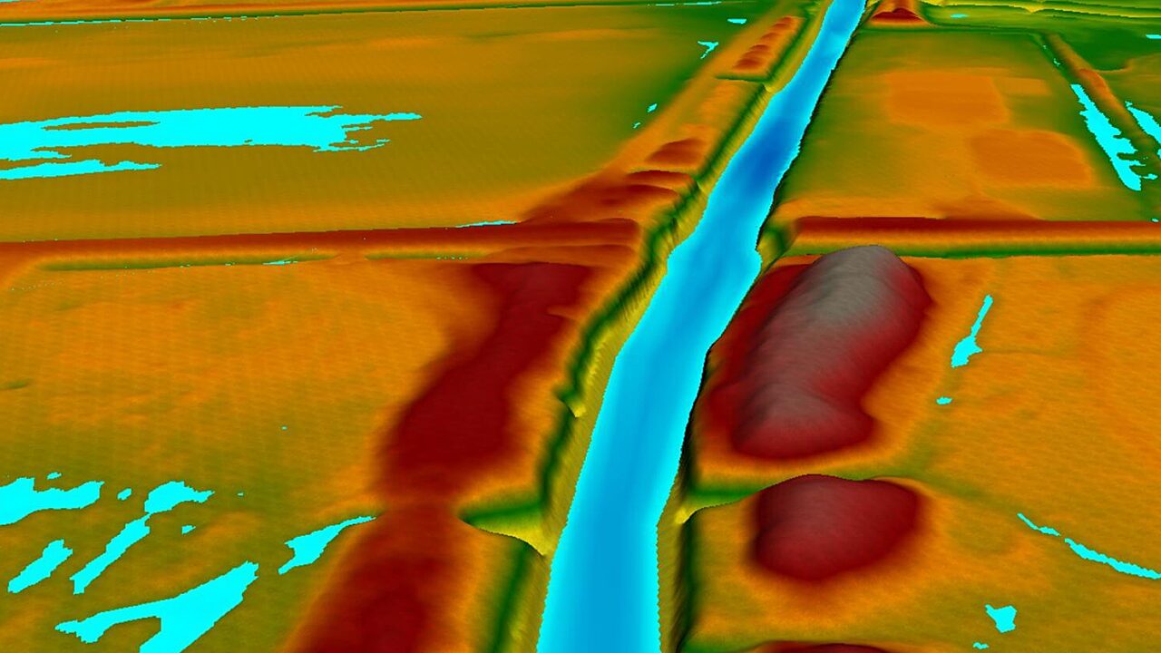
DDG’s expertise in hydrology and hydraulics engineering was developed through our years of experience with site development activities across the State, together with our support of local municipalities with flood risk assessments and regional drainage improvement projects. From the retrofit of local drainage infrastructure to the design of regional detention facilities, to conveyance improvements in major waterways, to complete drainage designs for thousands of acres of development, we have done it all. Water Resources modeling tools include: USACE HEC-HMS / HEC-RAS, EPA SWMM / PCSWMM, Autodesk Storm and Sanitary Analysis (SSA), Autodesk Storm Sewers, Autodesk Hydraflow / Hydraflow Express, Streamline Technologies ICPR 4, Bentley PondPack, and FHWA HY-8.
HYDROLOGY + HYDRAULICS ENGINEERING
DDG is well-versed in both steady and unsteady hydraulic modeling for conveyance analysis and floodplain mapping. We routinely use public domain and proprietary models including HEC-HMS, HEC-RAS, SWMM, ICPR, PondPack, Storm and Sanitary Analysis, HY-8, and others for routine conveyance/storage analysis and drainage design. DDG can support development of both 1D and 2D HEC-RAS models, as well as other multi-dimensional hydrodynamic models such as MIKE-FLOOD, DELFT3D, and AdH.
GIS & GEOSPATIAL TECHNOLOGY
At DDG, our GIS and geospatial technology experts have seen and done it all from desktop due diligence to on-site around-the-clock data collection to rapidly deploying offline assessment solutions. Our seamless approach has provided for drone operations to capture roof repair work for developing architectural drawings and collecting street light locations for municipal utility audits. Whatever the project needs, DDG GIS and geospatial technology experts are there to deliver time- and cost-effective methods and solutions. Available GIS + Geospatial Technology Services: Customized Mobile Field Data Collection, Public Engagement Web Applications, Enterprise Geodatabase Administration + Development, Public & Individual Assistance Damage Assessment Tools, Multi-spectral Data Processing & Analysis, CAD—GIS Integration Support, Client Care and Customer Support, Small-Scale Aerial Mapping, Permit Map Packages, Digital-Twinning Infrastructure, Small-Unmanned Aerial Vehicles, Digital Cartography, Reporting Dashboards, and Agile GIS Application Development & Operations.
Services Provided
- Watershed Modeling + Management
- Coastal Modeling
- Data Management
- Flood Risk Management
- Hydrologic and Hydraulic Restoration
- Stormwater Management
- Project Management
- Master Planning
- Construction Administration
- Modeling + Mapping
- GIS + Geospatial Technology
Featured Water Resources Projects
- Featured Projects
- Public Sector Projects
- Private Sector Projects
- View All Projects
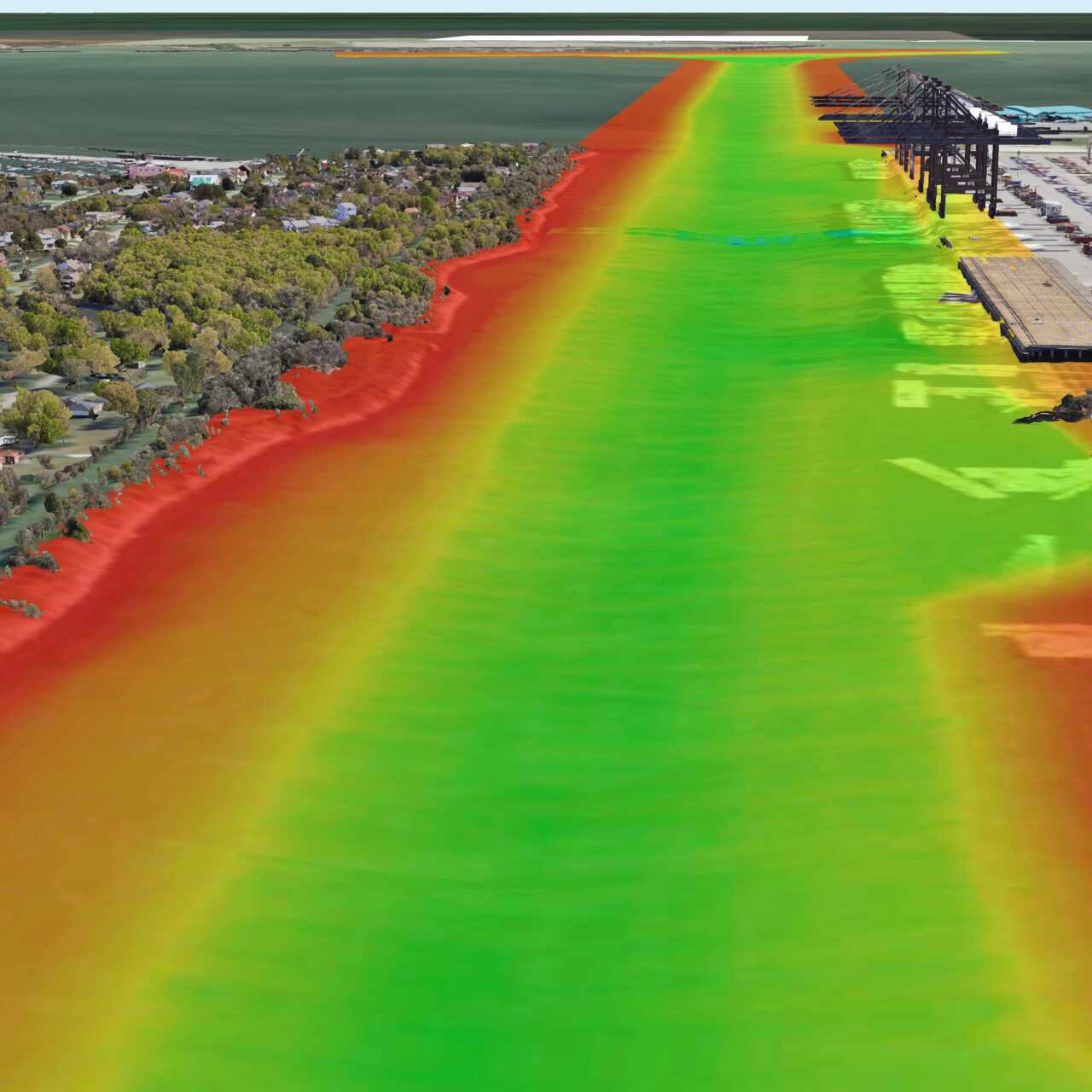
Houston Ship Channel - Project 11
Williams South Mitigation Bank
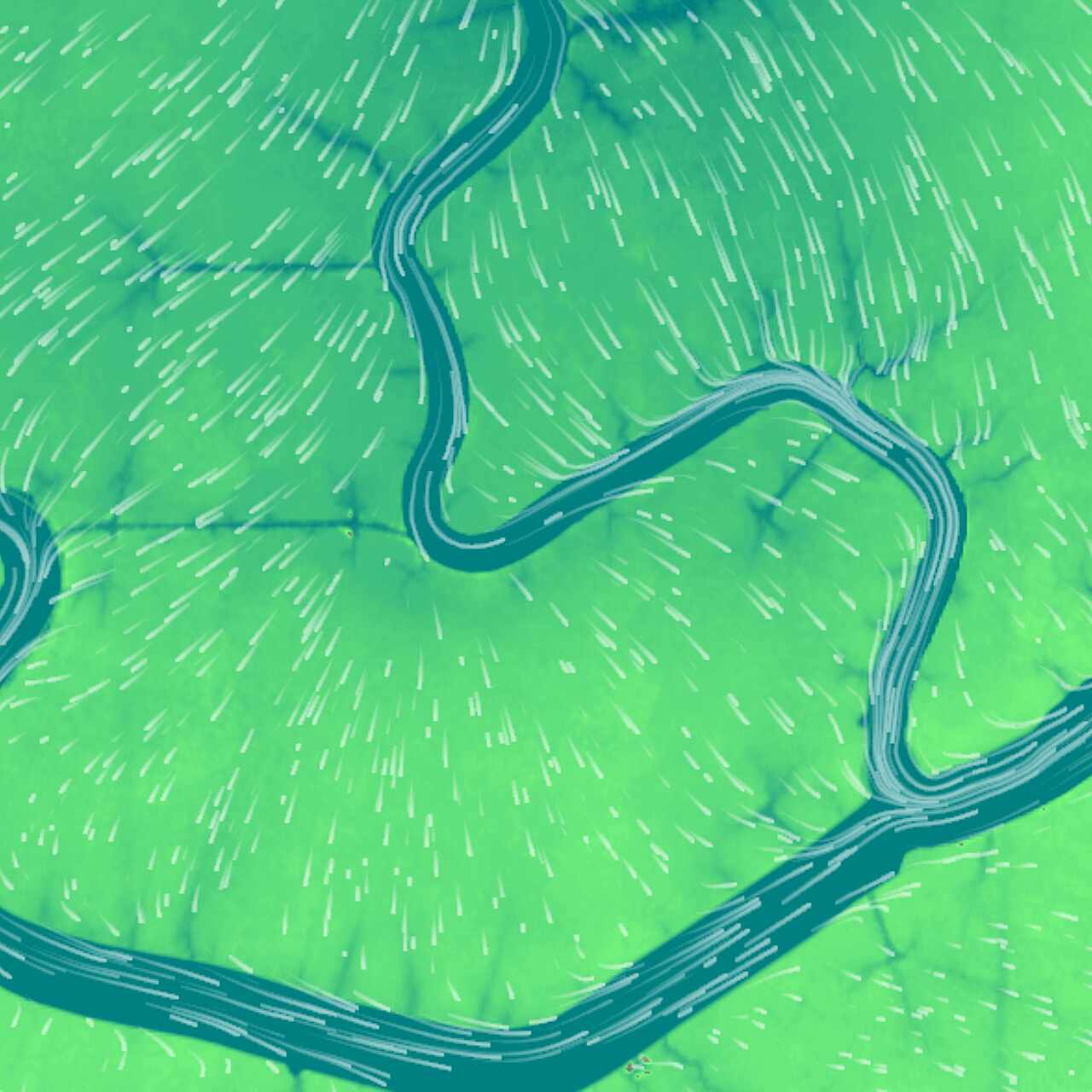
St. Tammany Parish Government Projects
Disaster Recovery
