SURVEY SOLUTIONS
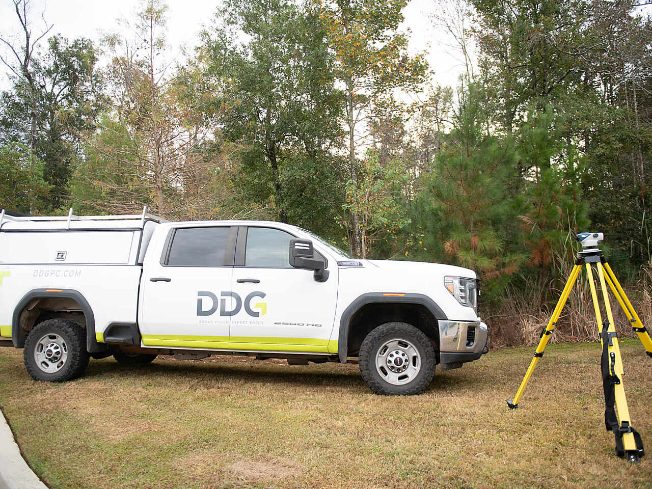
DDG’s licensed surveyors and survey personnel have nearly 200 years of combined surveying experience in topographic, property boundary, and hydrographic surveys. Our team has successfully and safely completed numerous surveying and mapping projects across the Gulf Coast.
DDG raises the bar by utilizing the latest and most efficient methods for collecting and staking data points for property and topographic surveys. DDG is committed to staying at the forefront of technology and uses the latest GPS, Remote Sensing, Robotic Total Station, and Scanning Stations to ensure that our clients receive accurate and precise data. DDG’s surveying division has successfully worked with numerous private and public sector clients, ranging from engineering and construction firms, to federal, state and local government agencies, as well as servicing our in-house engineers and architects.
Services Provided
- Boundary Survey
- Topographic Survey
- ALTA/NSPS Survey
- Elevation Certificate
- Subdivision Survey
- As-Built Survey
- Pipeline Location
- Corridor Survey
- Drainage Channel/System Survey
- Project Control Survey
- Construction Staking
- Magnetometer Survey
- Marine Construction
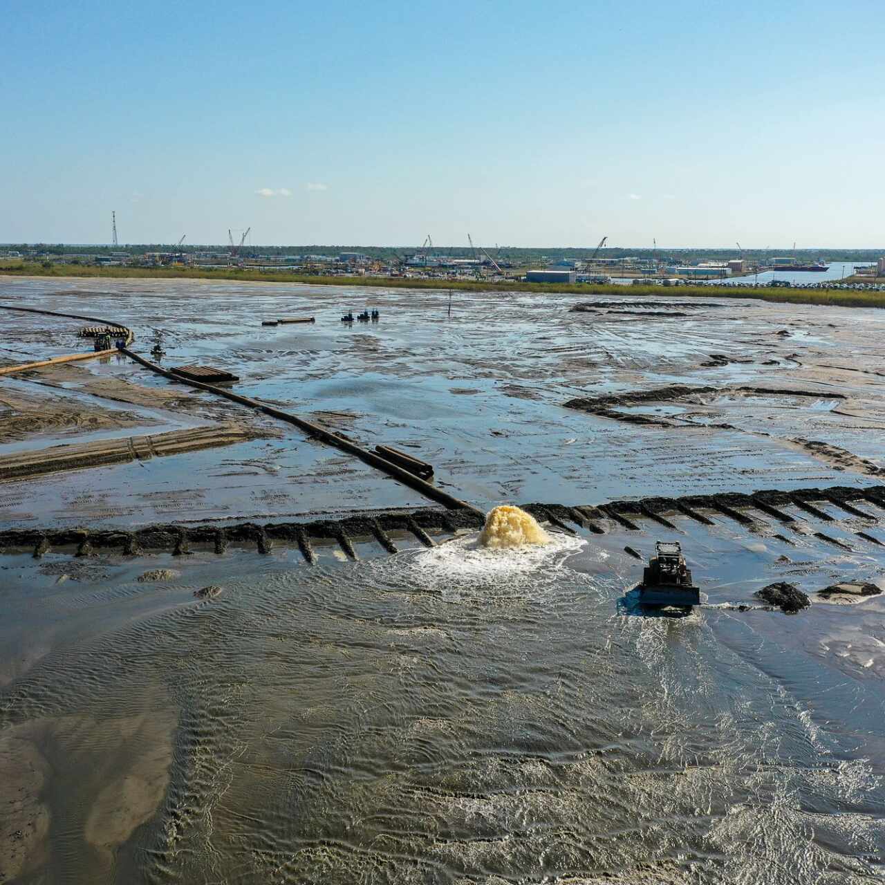
- Pre & Post Dredge Surveys
- High Resolution Multi-beam Survey
- Single-beam Survey
- Shallow Hazards Survey
- Thermal Survey
Featured Surveying Projects
From a singular project to scale, the natural evolution of our work is always informed by our promise - to enhance the places we live, work and play.
- Featured Projects
- Public Sector Projects
- Private Sector Projects
- View All Projects
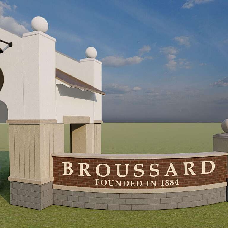
City of Broussard Projects
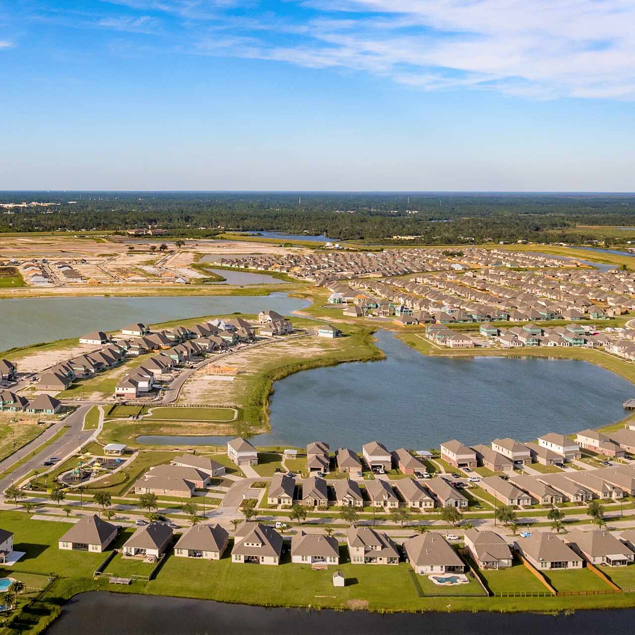
Lakeshore Villages
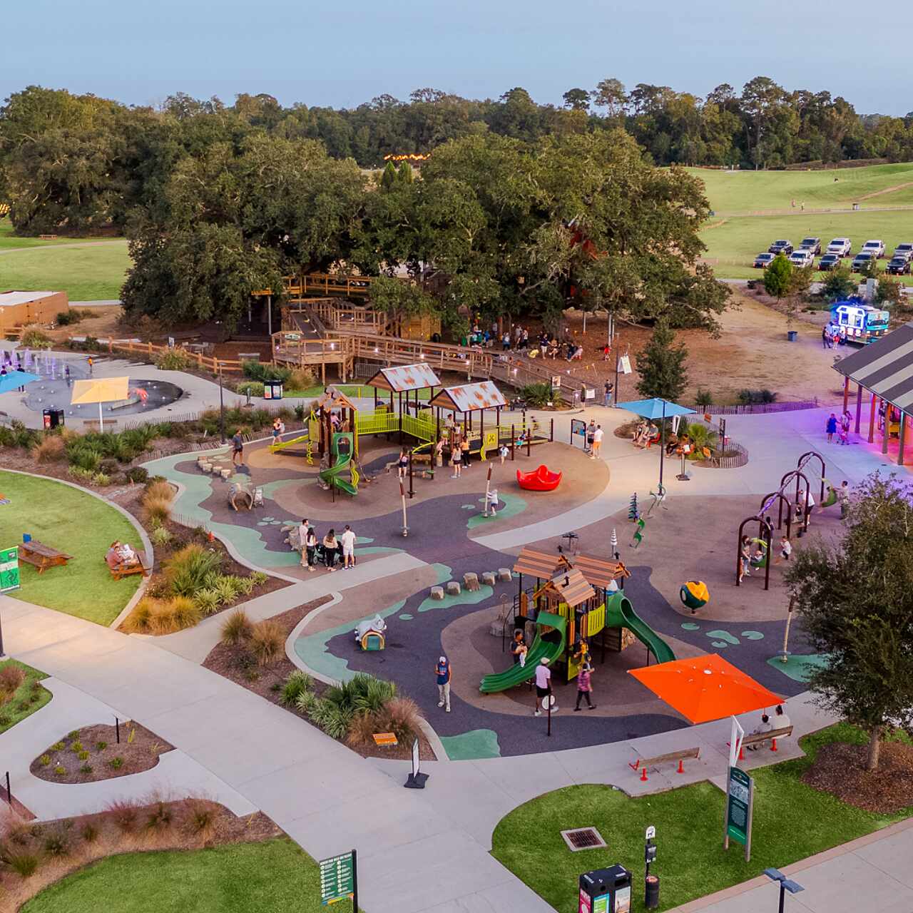
Moncus Park
Spanish Pass Marsh Creation
