Tangipahoa Parish, LA
Williams South Mitigation Bank
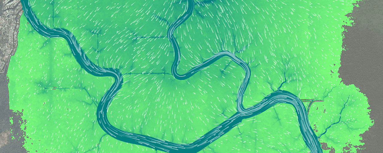
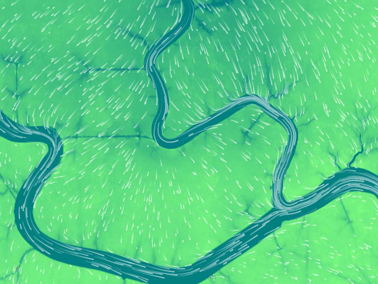
DDG has provided a hydrodynamic study within the Tickfaw River and Natalbany River watersheds in Livingston and Tangipahoa parishes to evaluate proposed improvements to a ± 3,000-acre site. Alternative improvements were assessed for improved connectivity and hydrologic exchange for the rehabilitation, enhancement, and preservation of cypress within the site. The study area is approximately bounded on the northern side by Springfield and Ponchatoula, Kilhan on the west, and Joyce Wildlife Management Area and I-55 on the east with Lake Maurepas being the ultimate outfall. For development of digital terrain models, DDG collected topographic and bathymetric surveys of Tickfaw River, Natalbany River, Lake Maurepas shoreline and smaller waterways across the site. Observed water level and salinity data was collected and assessed. Upon development of a representative hydrodynamic model of the study area, improvement alternatives were assessed for peak inundation along with inundation durations across the site for multiple rain and surge event simulations.
Client
Services

